It was a long day - 12 hours! - but one full of surprises. The Snaefellsnes Peninsula is an under rated place for tourists, but is for sure an exciting one. If you are visiting Iceland and have an extra day, I totally recommend a trip there.

Leaving Reykjavik at noon.

The was a low fog in the morning, making almost impossible to see the top of the mountains. Almost.

For me, the beauty of this trip was the coast. As you can see in the map bellow, you drive along the seashore for half of the time. Also, it's pretty empty and you feel like you have Iceland just for yourself.

You can see the route we took in this map. We drove up on highway 1 and then west on 54, circling all the way around the peninsula, to Olafsvik. Then back south through a short cut, back to 54 and back to Reykjavik. The whole trip should take about 4 hours, but if you want to stop at the many different and exciting natural attractions plan at least 6 hours.

First we went through a little town called Borganes. To get there we crossed a 6 kilometer underwater tunnel.

From Wikipedia: It has a population of 1,763 (as of January 2011). The town is located 60 km north of the capital Reykjavík and is connected to other places in Iceland through the second largest bridge in Iceland, Borgarfjarðarbrú.
Borgarnes is the center of commerce for a large part of western Iceland. The town's economy is mostly based on service to people traveling from Reykjavík, farmers and owners of summer houses in the countryside around the town, and also various industries.

At the bottom of the peninsula was our first stop at the Gerdberg Basalt Columns. It's a long wall of columns forming geometrical patterns in the cliffs as high as 3 meters. You can see them from the road, but there is a little side road to get closer to this magnificent wall.

It was so peaceful there.


It was a nice stop for the kids to run around and play. The rocks are really fun to climb on.

Picnic time!

Like the horses, the sheep are everywhere.

This is one of those trips that you keep driving and keep saying "wow!!!" the whole time. And the landscape keeps changing too. Mountains, seashore, beaches, volcanos, caves, lava fields, waterfalls and even desert like views. Amazing!

Our next stop was at a place called Ytri Tunga. It's a beautiful cove where you can take a walk and appreciate the Atlantic Ocean view.

Apparently this is a great place to spot seals, but we got there too late. They hang out here in the summer, especially in July.


Behind the beach we could see the Snaefellsjokull Glacier. It's part of the Snaefellsnes National Park and definitely the main attraction in the area. The 1446 meters glacier sits on top of a volcano.

One consistent thing are the waterfalls. No matter what kind of landscape there is, you see waterfalls everywhere. At first we were slowing down the car to take photos, then it just became so common that we stopped screaming with excitement every time we saw one.

Snaefellsjokul (the glacier) again.


From: http://www.nat.is/travelguideeng/glacier_snaefellsjokull.htm
|

Lava fields around the volcanos.

You can take a small road through the glacier, at your own risk. Basically that's what the sign says.


Capturing energy and giving energy breastfeeding at the bottom of Snaefellsjokul (the glacier).

Our last main stop at the peninsula before heading back to Reykjavik at the town of Olafsvik. It is the most western town in Iceland - and Europe -, with the population of 1,100 people.

It's a cute little town, but we didn't get to see people outside.

Our dinner at Olafsvik's gas station/restaurant/store/food market/ice cream parlour.

Olafsvik's seashore.


At around 7pm we started our drive back to the capital. Now we took a short cut high up in the mountains. The sun was starting to go down and the view was just even more spectacular.

The light was amazing and I keep thinking that this is a perfect place for a good photographer (not me) and a good camera (not an iphone). But still you can have an idea of the impressive beauty in this part of the world.

Sun setting behind a volcano.

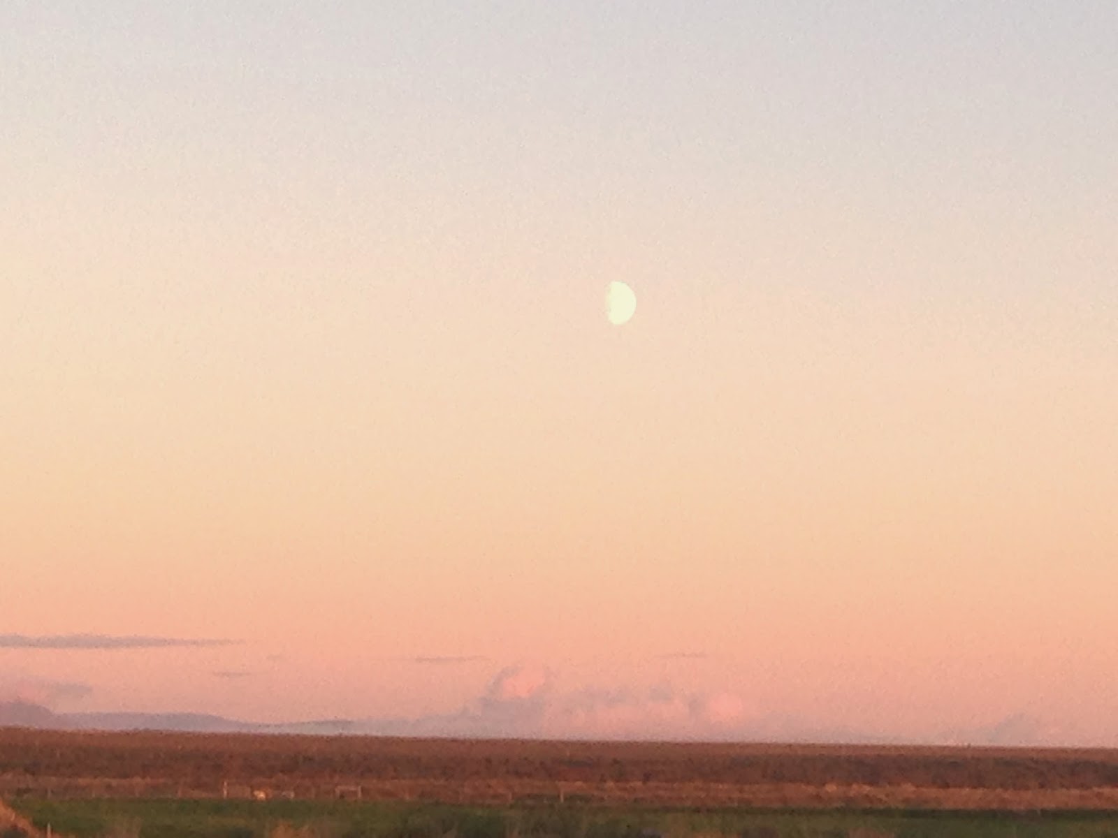
As soon as the sun started to set on one side, one of the biggest moons I have ever seen popped out on the other side, and followed us all the way back to the city. Unbelievable!
N O R T H E R N L I G H T S
Unfortunately I have no pictures to show our last great experience of the day. I got to see the northern lights for the first time. They were mild, not too bright, but clearly dancing up in the sky. Mike and I could appreciate them while the kids were sleeping in the car, until a strong fog took over and forced us to leave. Still it made me have goose bumps for a good hour. What an incredible day!

No comments:
Post a Comment